
Fort Davis, Texas
HISTORY
Welcome to Fort Davis, Texas
The Town With The Highest Elevation In Texas.
For Davis, Texas, an unincorporated community and the county seat of Jeff Davis County, is located on Limpia Creek at the intersection of State Highways 17 and 118. Fort Davis, established in 1854 as a frontier military fort, was tasked with ensuring the safety of the mail and travelers on the San Antonio-El Paso Road. A town had sprung up around the fort, and it began to thrive after the Civil War. That town even managed to survive despite the army abandoning their fort in the 1890s. Today, Fort Davis is not only the highest town in Texas at 5,050 feet; it is also home to the Fort Davis National Historic Site, the Davis Mountains State Park, and the McDonald Observatory.
PHOTOS
Sights Around Fort Davis, Texas
Ready to decorate your walls? Click 'Buy Now' below your favorites to see pricing and learn more.

MAMIYA 7II & ILFORD DELTA 400
McDonald Observatory
Endowed by $1m from Texas banker William Johnson McDonald, the McDonald Observatory is Located in Fort Davis, Texas. The Hobby-Eberly Telescope is on top of Mt. Fowlkes, on the left. On the right, the Otto Struve Telescope and the Harlan J. Smith Telescope are on top of Mt. Locke. The Hobby-Eberly Telescope is believed to be tied with the Keck Telescopes in Hawaii as the second or third largest telescope globally.
Do you like to stargaze?

CANON EOS 3 & ILFORD FP4+
Davis Mountains
The Davis Mountains in Texas are more or less a collection of peaks over a 31 square mile area. Most of the land is private property used for ranching. However, the Davis Mountains are host to a few public spaces, including Fort Davis National Historic Site, Davis Mountains State Park, and McDonald Observatory. Mount Livermore is the highest peak in the Davis Mountains and the 4th highest in Texas, with an elevation of 8,378 feet/ 2,554 meters.
Have you ever been out to visit the McDonald Observatory?

MAMIYA 7II & ILFORD DELTA 400
Isolated Mountains
Humans have lived in the Davis Mountains for at least 10,000 years. Originally known as the Limpia Mountains, the mountains and canyons served as a sanctuary through the late 1800s as the lower end of Limpia Creek provided year-round water.
In the 1850s, the US Secretary of War, Jefferson Davis, ordered the construction of a frontier defense fort in the area so the fort and mountains would bear his name.
Did you know that the Davis Mountains are a sky island?

MAMIYA 7II & ILFORD DELTA 400
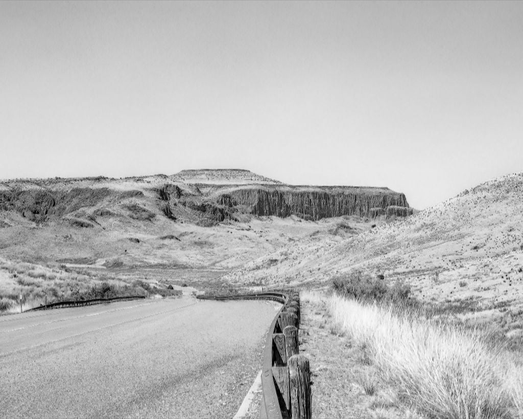
Unnamed Peaks
The view from the Wild Rose Pass Centennial Marker between Balmorhea, Texas, and Fort Davis, Texas is amazing. This photo shows you what you would see when you look over to the west.
Wild Rose Pass, established in 1849, originally was a two-mile-long route through the Limpia Mountains for the overland mail route that connected San Antonio, Texas to El Paso, Texas. The pass served as an essential higher way through Limpia Canyon, which often flooded, and native roses decorated the landscape.
Many people don't believe that the wild roses still bloom in the area. Others think they do still exist, but that they grow on what's now private property. What's your take?
MAMIYA 7II & ILFORD DELTA 400
Wild Rose Pass
Wild Rose Pass is essentially a gap in the Davis Mountains ten miles northeast of Fort Davis, Texas. The elevation ranges from 4,320 to 4,546 feet throughout the pass.
Legend has it that Bigfoot Wallace shot a buck atop a cliff in Wild Rose Pass while working as a driver on the mail route in the 1850s. The animal slid down the mountainside, landed directly in front of his coach, and Wallace reportedly said, "Them's the first mountains I ever seen where the game comes to heel after being killed."
Did you know that Bigfoot, Texas, is named after Bigfoot Wallace?

CANON EOS 3 & ILFORD FP4+
Mexican Hat Flowers
The Upright Prarie Coneflower is also known as the Mexican Hat, and it typically blooms from late June through August. This drought-tolerant wildflower appears throughout the Great Plains from Central Canada to Northern Mexico. The Upright Prarie Coneflower prefers dry open spaces like prairie grasslands and mountain foothills, and it also thrives in disturbed areas along railroad tracks and roadsides.
What are some of your favorite wildflowers?